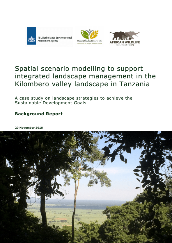
Spatial scenario modelling to support integrated landscape management in the Kilombero valley landscape in Tanzania
Region of Focus
Overview
The importance of spatial scenario modelling to credibly support pathways to achieving the SDGs, and how our tool was applied to this effect, is clear in this case study.
Case: The Kilombero Valley landscape in Tanzania
The Kilombero Valley is nestled between the Kilombero river to the Southeast and the Udzungwa Mountains to the Northeast. The African Wildlife Foundation (AWF) is working in this area to demonstrate how agricultural productivity and biodiversity conservation goals can be balanced within a landscape context where an expanding human population, unplanned land use, conversion, poor forest and waterway management, and changing weather patterns due to climate change are putting extreme strain on the natural systems and on the downstream water users who depend on them. They are already working with partners to set up a program for small-scale farmers from villages adjacent to the Kilombero Nature Reserve and wildlife corridor to strengthen small businesses in the area and also to mitigate human-wildlife conflicts.
The importance of spatial scenario modelling to credibly support pathways to achieving the SDGs, and how our tool was applied to this effect, is clear in this case study.
Media Type
Language
Published
20 November 2018
Authored by
Seth Shames, Sara Scherr, Johan Meijer, Paul Giesen
License
© PBL Netherlands Environmental Assessment Agency The Hague, 2018 PBL publication number: 3281
License
License
Related Resources
Spatial modelling of participatory landscape scenarios
Towards a Living Landscape: using modelling and scenarios in the Atewa-Densu landscape in Ghana