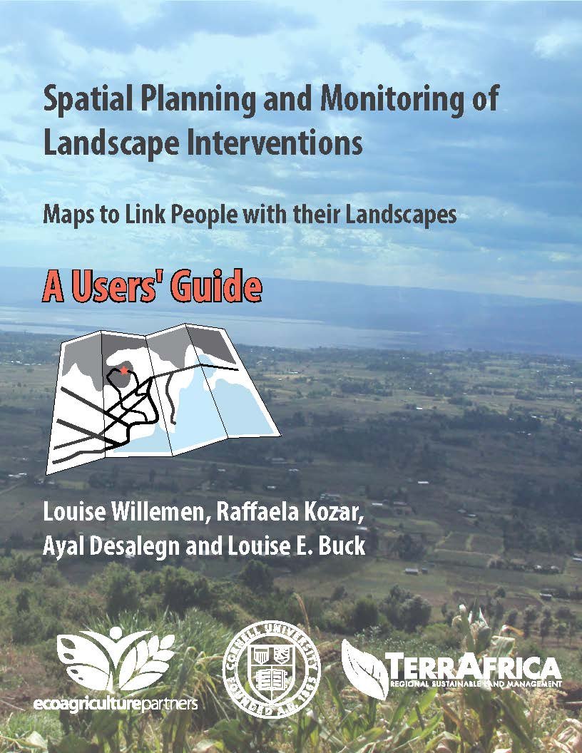
Spatial Planning and Monitoring of Landscape Interventions: Maps to Link People with their Landscapes
Region of Focus
Overview
How to Use Maps to Collaborate
This guide is designed to stimulate the use of maps in cross-sectoral collaborations to locate, design and monitor interventions in rural landscapes.
8 Step Process
The guide presents eight steps to guide key stakeholders through a spatially explicit landscape planning process aimed at integrating goals for agricultural production, biodiversity conservation and livelihood security. The steps form a repeating process of co-learning that reinforces shared goals and understanding. Along the way, information from each step informs other steps in the next round of the process.
Media Type
Language
Published
11 November 2014
Authored by
Louise Buck, Ayal Desalegn, Raffaela Kozar, Louise Willemen
License
Creative Commons - BY - NC - ND
License
License
Related Resources